Table of Content
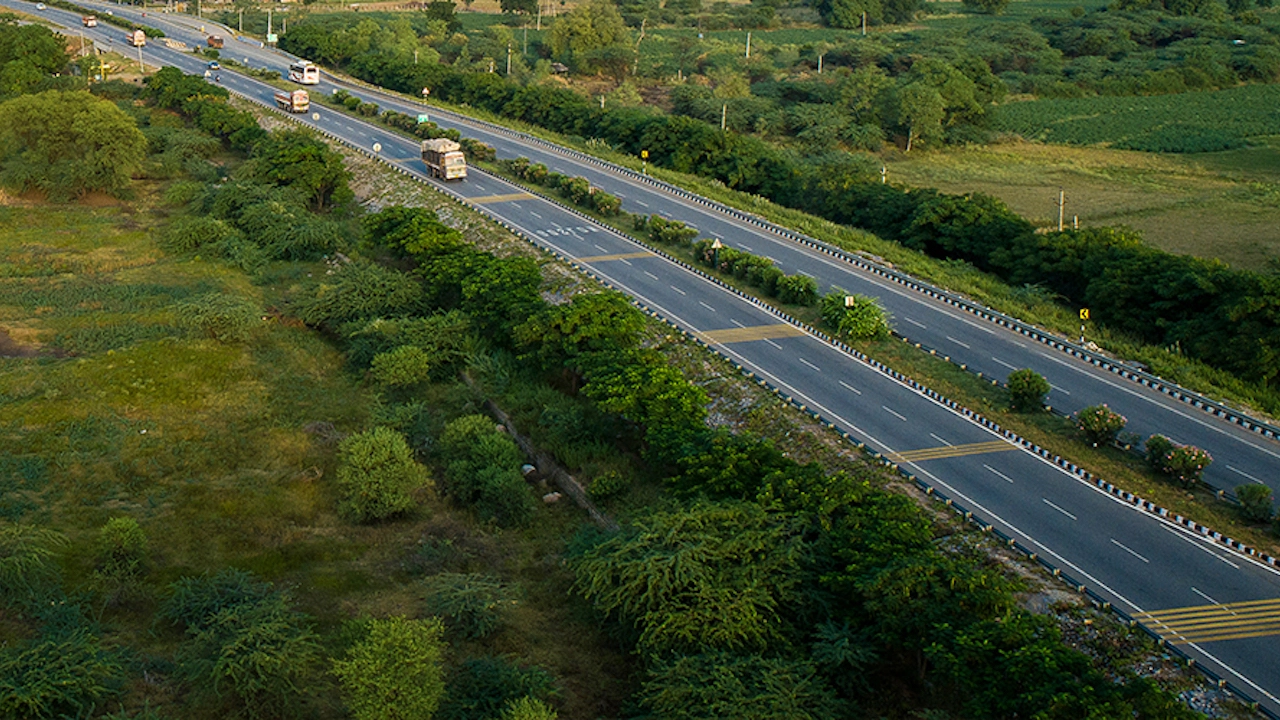
▼The National Highways Authority of India (NHAI) will prepare the Green Coverage Index in the next three years. This is being done in collaboration with the National Remote Sensing Center (NRSC), a branch of the Indian Space Research Organization (ISRO).
“Currently, farm monitoring depends on field visits by field staff,” an official statement said, adding that the NRSC will conduct a comprehensive estimation of the green cover of national highways across India using high-resolution satellite images.
“It will also facilitate targeted interventions in areas that lack proper green cover,” the statement added.
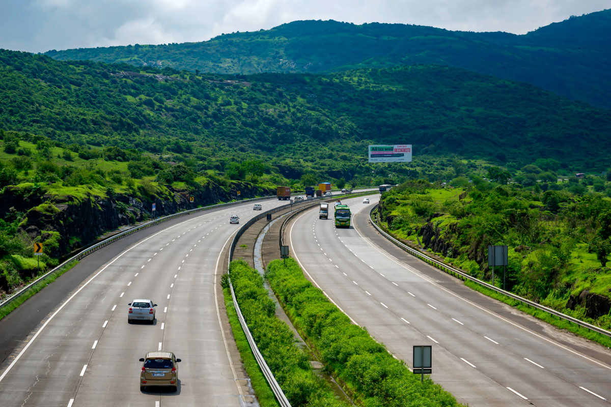
This approach taken by NHAI promises to provide a cost-effective and time-saving solution to generate a macro-level estimate of the degree of greenness along national highways. Its pilot projects have already been successful.
The goal is to obtain a green coverage index at the regional level for national highways in the first evaluation cycle. The statement added that subsequent annual sessions will focus on estimating the growth patterns of green cover on national highways using scientific techniques.
The index results will facilitate comparison and classification of different national highways for systematic and timely intervention. Since the green cover will be estimated per kilometer of length of national highways, it will also be possible to create detailed metrics for individual projects.
Also Read: Revolution on Wheels: The New Hyundai Creta 2024 - What Sets It Apart?
Neha Mehlawat
Neha Mehlawat is an automotive journalist and industry analyst with 10+ years of experience covering cars, bikes, and mobility trends. She tracks the latest launches, technology upgrades, and policy changes in the auto sector, delivering sharp insights that help readers stay ahead in the fast-evolving world of automobiles.
